

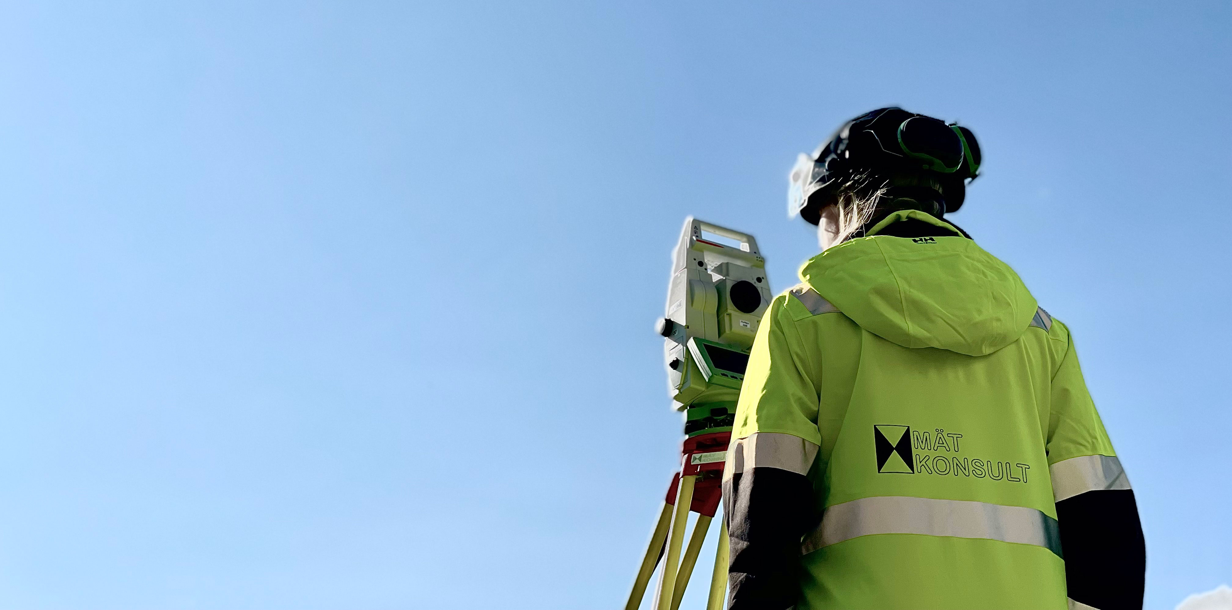
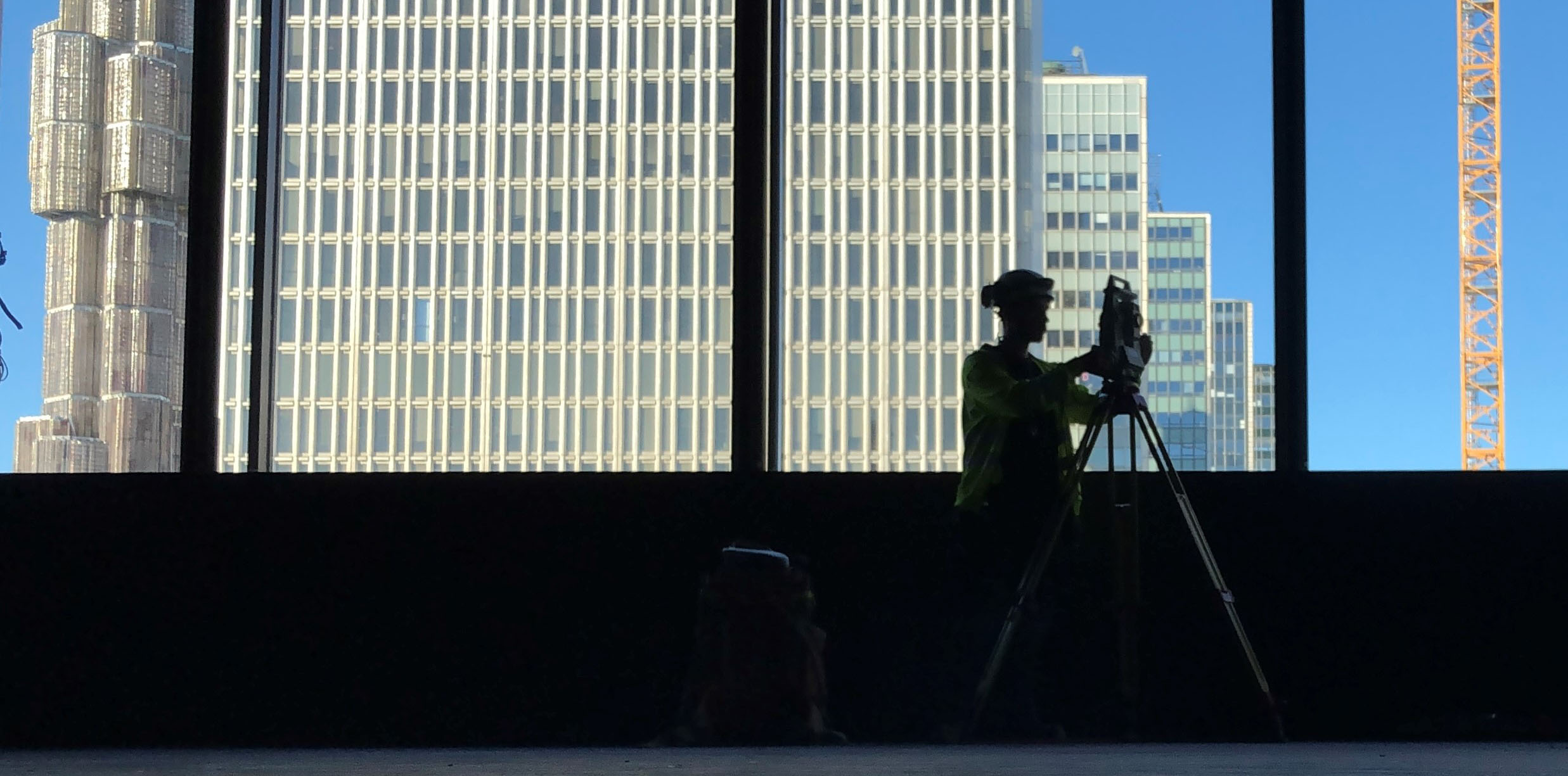
Surveying · Geodata · Infrastructure
Precision that
builds the future.
Surveying and geodata for construction, civil engineering and infrastructure – from initial data to final documentation.
Where accuracy matters
The right survey data.
The right decisions.
We move construction and infrastructure projects forward with reliable data, modern technology and specialist surveying expertise.
What we do
Our services
Expertise and surveying technology throughout the project – from design and setting out to verification and documentation.
Construction & Civil Engineering
Control Surveys
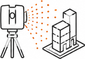
Scanning & Scan2BIM
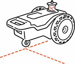
Robotic placement
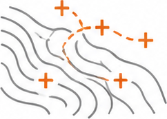
Design Surveys
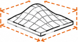
Volume Calculations
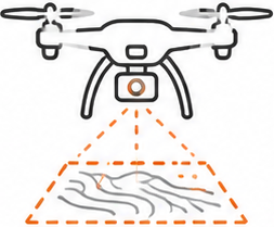
Drone Surveying
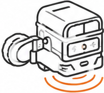
Concrete Radar
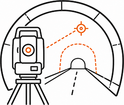
Tunnel measurement
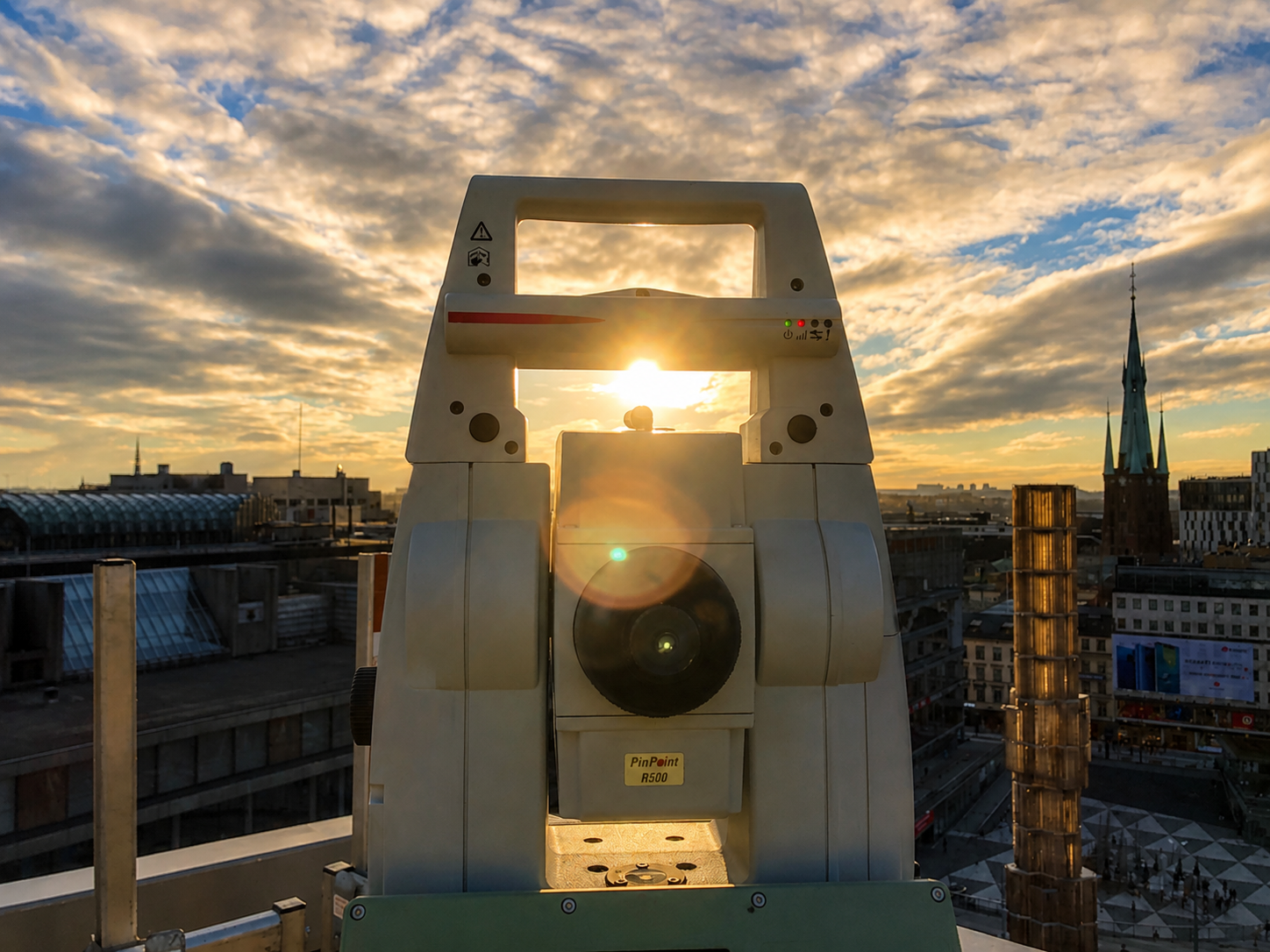
Throughout the project
Technology at the forefront.
Experience behind us.
We combine modern instruments and digital workflows with solid experience from real-world projects. The result is data you can rely on when time, quality and precision are critical.
- 01 Design and planning
- 02 Setting out and production support
- 03 Verification and documentation
About Mätkonsult
Close to the projects.
Long experience.

Since 1989, we have grown together with our customers and the industry. We believe in close collaboration, clear communication and quality in every survey point.
Next step
Do you have a project
we can help with?
Tell us what you need and we will help you find the right surveying service.
Contact us